Different Ways To Survey Land and the Tools Involved
There are many different reasons to consider conducting a land survey. Whether you’re trying to figure out the exact lines of your property or you’re looking to get more information on whether or not you meet the mortgage requirements set forth by your lender, you will find that a survey is an excellent way for you to take care of business. Since there are many ways to approach surveying land, you will find that one option is not like another. This, in turn, means that you can’t use the same tools for one as you would another.
In order to gain insight into how to go about land surveying, you need to learn more about the different ways to conduct the task. Take a moment to review these points and see how you can find the best results from all of your efforts.
What Is a Land Survey?

First and foremost, you may want to define exactly what a land survey is. Essentially, this is a process that involves figuring out the natural and manmade boundaries of a piece of property. Typically, the act of surveying involves complicated tools that can figure out the exact angles, elevation, and boundaries of a piece of property. Since each method of surveying requires slightly different tools, you will find that it is a good idea to understand the options before you attempt to take any readings.
It is important to note that most surveys are conducted in order to establish or settle concerns surrounding the boundaries of a piece of property. Though topographic surveys don’t take this factor into account, all other surveys tend to revolve around the ownership or subdivision of parcels of land. This means that accuracy is of the utmost importance when it comes to conducting a survey, as errors can lead to major legal complications for all involved in developing the land.
American Land Title Association or Extended Coverage Title Insurance Survey
One of the most common types of surveys is one that is conducted in order to gain insight into the exact boundaries of a piece of property in order to issue a deed for the property. In order to receive an American Land Title Association insurance policy or coverage that falls under Extended Coverage Title Insurance, this type of survey absolutely needs to be conducted. In almost all cases, an ALTA or ACSM survey will include taking readings on each and every feature of a specific piece of land.
For jobs like this, experts tend to use composite tripods or tools that feature an intricate prism system. Since this survey requires readings on all fronts, the equipment must be able to handle all possible tasks.
Boundaries Survey
Though the ALTA and ACSM surveys are quite common for measuring property lines, there are a number of other surveys conducted when it comes to finding boundaries. A standard boundary survey is typically used when a person needs to figure out the boundary lines or corners associated with a particular piece of land. In arrangements like this, the survey equipment involved is usually aimed at identifying both corners and whatever utility lines might be hidden beneath the surface of the ground. Magnetic locators are popular for this task.
Location Survey
Another type of survey that is somewhat common is a location survey. There are many similarities between a location survey and a boundary survey, as both are meant to offer insight into interior improvements of the property. This type of assessment is traditionally required when you are in need of a permit for zoning. There are some scenarios where a loan for the property might require a survey of this nature. Rover rods are a common piece of equipment involved in this arrangement.
Construction Survey
One common survey that you may need to have conducted on a piece of property is a construction survey. In this scenario, all of the structures that are found on a particular parcel of land are staked out. This can include anything from buildings to utility lines to roads. It is common for surveys of this nature to involve both vertical and horizontal grading. Beyond the standard tools used for most surveys, a construction survey will also involve common surveying instruments like stakes and other marking devices.
Topographic Survey
Topography is defined as the arrangement of both the natural and artificial physical attributes of a piece of land. This means that when a topographic survey is being conducted, the man-made and natural topographic features of the area are taken into consideration. Like a construction survey, structures and roads are taken into account. However, topography tasks also include trees, water sources, and anything else of note that might be found in the general area. Unlike other surveys, this method does not account for concepts like property boundaries.
For a survey of this nature, photographic equipment that can take aerial shots is typically involved. With the advent of drone technology, this has become a very popular way to gain perspective and snap images of the area.
Partition Survey
In some instances, a survey might need to be conducted on an existing parcel of land in order to break it into smaller lots. To achieve this in an effective and honest way, a partition survey is typically conducted. Outside of this survey being used to break the land into subdivisions, it might also be conducted in order to design the layout of a sewer system or the overall arrangement of a street of several properties in a neighborhood. Tripods are one of the most common pieces of equipment used when it comes to a subdivision survey.
Planning Survey
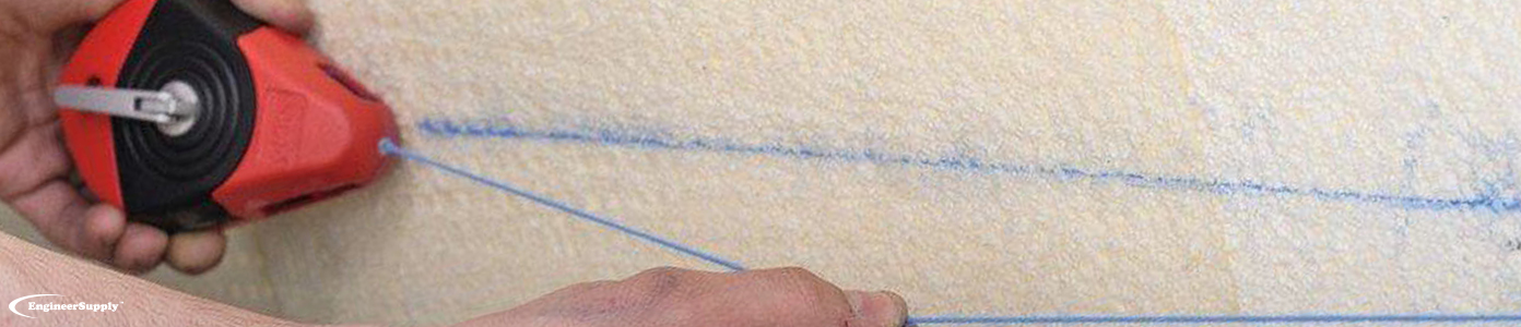
There are many different types of surveys conducted when it comes to applying for specific permits. If you are attempting to improve upon an existing structure, for example, then a planning survey needs to be conducted for the governing body to issue the permit you require to move forward with development. This is a common type of survey when it comes to planning both residential and commercial areas. It is also a survey that is used during the development of highways, roads, and streets. Like most other surveys, theodolites and measuring tapes are used in the process.

Frequently Asked Questions
How Can I Find Equipment for Land Surveying?

There are a number of ways to go about finding the best and most effective equipment for land surveying. First, be sure to take into account the type of survey you will be conducting. Next, take a look at the variety of options available to you at Engineer Supply and determine which fit your needs. In no time, you’ll have all the tools and gear required.
What Is the Most Common Equipment Used in Surveying Land?
Though a variety of equipment is involved in the process of surveying land, there are a few items that tend to be the most frequently utilized. Theodolites are typically involved in almost every kind of survey. Additionally, measuring tapes, stakes, and tripods are used in a number of processes.
Are There Only Three Types of Land Surveys?
One popular misconception surrounding surveys for the land is that there are only three different types of surveys. In fact, there are many more that exist depending on the exact parameters of the survey in question. If you’re unsure of the right fit for your needs, be sure to review all possible choices.
Why Do People Conduct Land Surveys?
Though there are a number of reasons why land surveys are conducted in the first place, most tend to involve finding the property boundaries of a parcel of land. Diving into the details of each survey can provide greater insight into the exact reasons for such an action.
Can Professional Land Surveyors Make Mistakes?
While experts who specialize in surveys are likely to produce accurate and reliable results, all human beings are capable of making errors. In order for you to feel satisfied by the findings of the surveyors, you may wish to have a second opinion or conduct some readings on your own. This can verify the findings and provide peace of mind.
There are plenty of reasons why a person might have to conduct land surveying on a piece of property. Whether a local government is attempting to create subdivisions of a parcel of land or a business needs to know where the corners of its property are located, having the right equipment for the job can be a lifesaver. Take time to look over the gear and tools available at Engineer Supply in order to get everything you need for your next task.