
 Leica Geosystems is a Switzerland-based company that manufactures instruments and systems used for surveying and geographical measurement. Their products use a variety of technologies (such as GPS satellite navigation and laser rangefinding) to make models of structures and terrains with a great deal of accuracy. Their tools can also be used with computer-based systems, so surveyors can make detailed models of a specific area. Here are some of the best products from Leica Geosystems that are currently on the market.
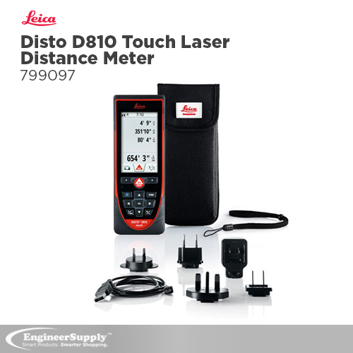
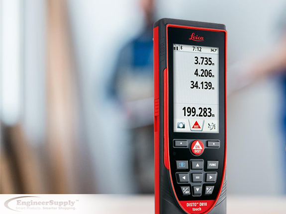
This is the first laser distance meter with a touchscreen, which allows for quick and intuitive operation. It has an integrated camera as well as a variety of advanced capabilities that allow you to get measurements from pictures. You can download images to a computer through the USB interface, and its high functionality is complemented by a smart free app called Leica Disto Sketch.
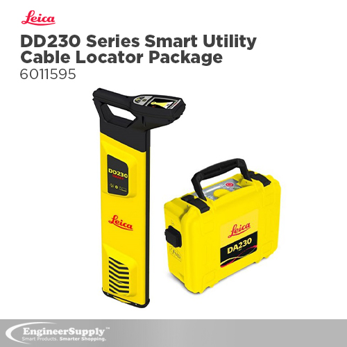
This utility locator by Leica Geosystems can be used to detect underground assets at a deeper, faster, and more accurate level. Not only is it scalable, but it also has the latest Bluetooth technology (which allows you to connect your mobile devices through a wireless system). It also comes with the following features:
- On-board video support makes it easy to use and learn.
- Intuitive hardware and software that’s designed to reduce errors.
- Usage alerts and system diagnostics offer further protection.
- DX Shield software offers a space for utility analysis.
If you’re ready to purchase this product, be sure to pick yours up at Engineer Supply.
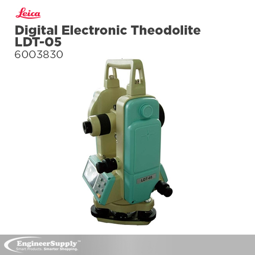
This theodolite is an economical but advanced instrument that can be used to measure angles and slopes up to a five-second accuracy, which is precise enough for even the most demanding jobs. The automatic vertical angle compensator (or tilt sensor) can be switched on or off, but it will make sure accuracy is maintained if your instrument falls off balance. A tilt warning will display in the vertical angle reading space, which can avoid costly errors. Both sides of the instrument have back-lit LCD display panels, so construction professionals can access the device’s functions from either side (even in low-light conditions).
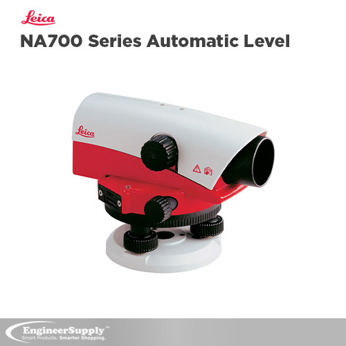
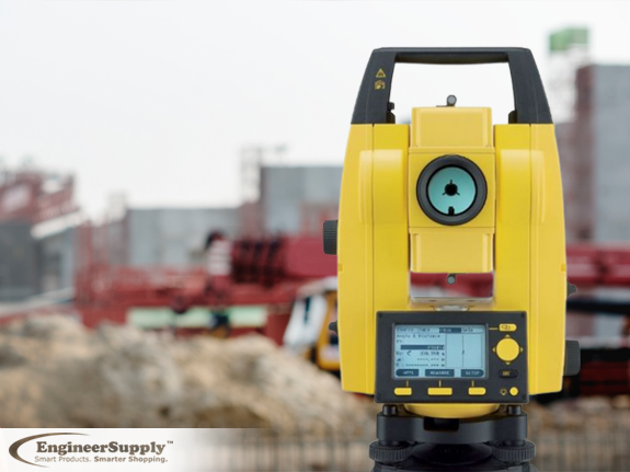
This tool by Leica Geosystems is meant for builders, engineers, and surveyors because nothing can keep it from working properly after a short drop onto the ground, a fall into the water, or vibration from heavy machinery. You can use it in even the harshest conditions, and you don’t have to spend a lot of time checking or readjusting the instrument. The “best-in-class” optics allow you to work with as much precision as possible, even in twilight or other low-light conditions. Having a tool that’s more reliable and accurate reduces your downtime, which can lead to higher productivity.
If you’re ready to purchase a Leica total station or some other product from this company, be sure to look at what we have at Engineer Supply.
Frequently Asked Questions
What is a Leica total station?
A total station is a modern surveying tool that combines the technology of a theodolite and an electronic distance meter (EDM). A theodolite uses a movable telescope to measure angles on both the horizontal and vertical planes, which has traditionally been a manual instrument. But with a total station, you can digitally measure both distance and slope. So, it’s essentially two surveying instruments in one.
How do I use a Leica total station?
You want to set it up on a tripod exactly over the mark from where you want to work. Adjust the tripod so the top is somewhat level, and push the legs slightly into the ground to keep the device stable. Once you mount it onto the tripod, use a plumb-bob to center it over the mark.
Adjust the base of the tripod by lengthening or shortening each leg until the circular level is even. Make sure the total station is level with the ground by reading the bubble level and adjusting the two leveling screws until the bubble is between the two lines. Then, rotate the device a quarter of a turn before using the third screw to make the final adjustments. You should turn the station several times to make sure it stays level and centered in any direction.
What are the different types of total stations?
Here some of the different types of total stations:
- Automatic Total Stations— They’re the most common total stations being used today. They electronically read and measure slope and distance on both horizontal and vertical planes, which can be used to determine the coordinates of observed points.
- Servo-Driven and Robotic Total Stations— These instruments are appealing to surveyors who want to use “automatic pointing” to gather data. They use motors to aim and position the instrument, so there’s very little need to look through the telescope.
If you’re looking for a Leica total station that can help you on the job site, be sure to look at what we have in stock.
How do I use a Leica Disto?
The Leica Disto is great for making quick, easy, and precise distance measurements (such as length and volume) with the press of a button — even in places that would otherwise be inaccessible. This line of products will save you both time and money. It will also improve the accuracy of your measurements while you’re on the job site.
What kind of equipment is made by Leica Geosystems?
Leica Geosystems makes a variety of products and systems that are used in surveying and geographical measurement (also called “geomatics”). They use a lot of technologies that allow people in these fields to model existing structures and terrains through computer-based systems and with a high degree of accuracy. Feel free to look at the broad selection we have at Engineer Supply, so you can find a product that will meet your specific needs.
More Articles on Leica